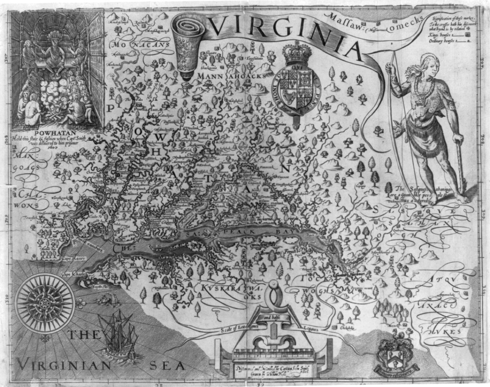
John Smith’s map of Virginia, engraved by William Hole and published in 1612. Public domain.
Britain and the United States split the Oregon country on the forty-ninth parallel instead of fighting over it.
A family on the trail still had a long walk ahead, and a treaty line did not clear Native title or feed them on the way.
A farming household that reached the Willamette hoped a settled border would make a claim stick.
Fur companies and land claimants who had bet on who owned the Columbia now had a government line to argue from.
The Oregon Treaty of 1846 set the boundary at the forty-ninth parallel from the Rockies to the sea strait, and Britain kept all of Vancouver Island.
The campaign cry of fifty-four forty was dropped.
Native nations lived on both sides of the new line, and the treaty did not settle their title.
Oregon Treaty, June 15, 1846; Norman A. Graebner, Empire on the Pacific (1955)