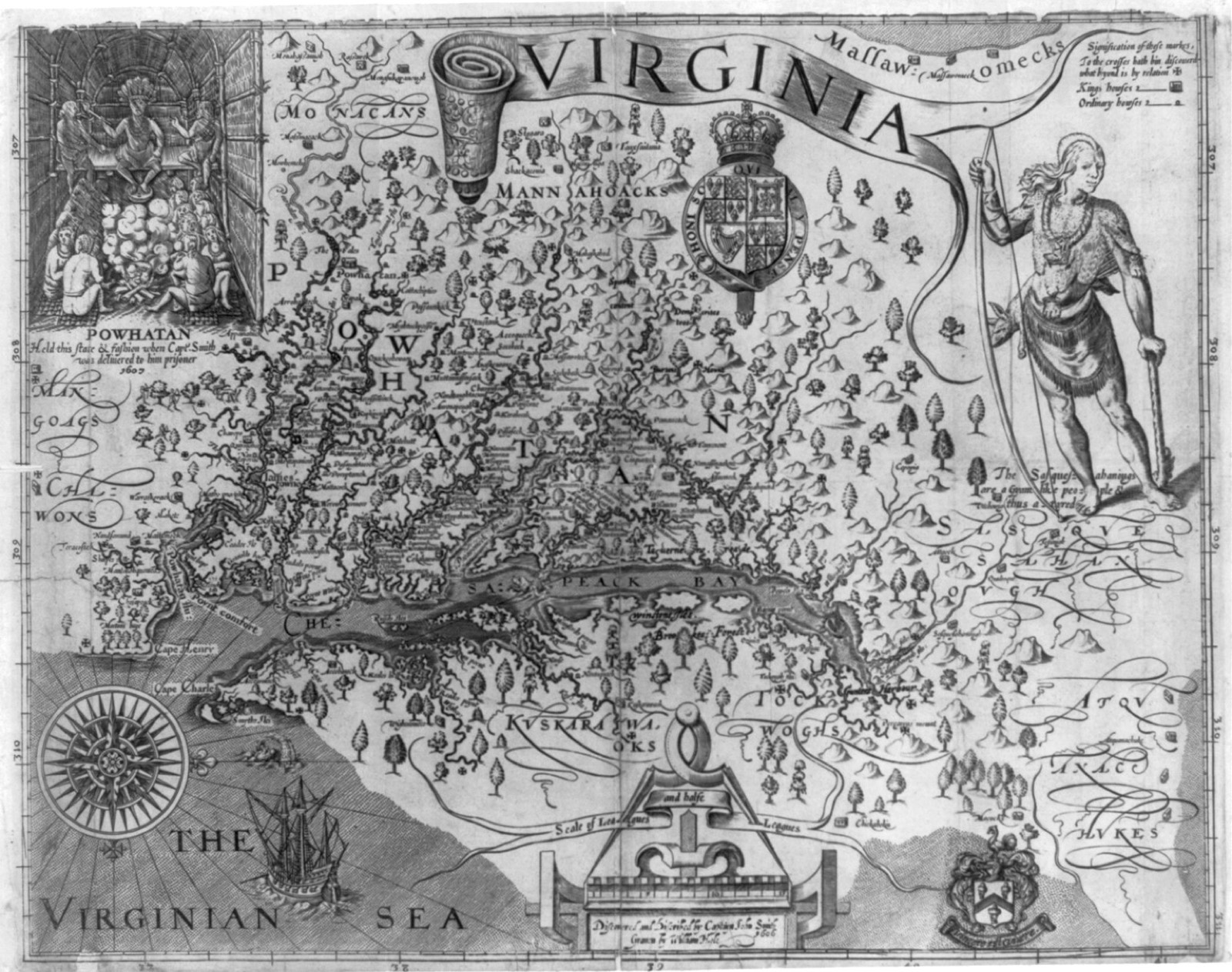
John Smith’s map of Virginia, engraved by William Hole and published in 1612. Public domain.
Congress began giving railroads huge strips of public land, in alternating squares, so the tracks would get built.
A poor family looking for a farm found some of the best acres already promised to a railroad, with government squares scattered between.
A settler who bought a government square beside the grant watched the railroad’s price on the next square rise once the trains ran.
Railroad promoters and their bondholders received land they could mortgage or sell, which is how much of the building was financed.
On September 20, 1850, Congress granted alternating sections of federal land to Illinois, Mississippi, and Alabama to aid the Illinois Central and the Mobile and Ohio.
The pattern was a checkerboard, railroad sections beside sections the government kept, on the idea that the road would lift the value of what the public still held.
That grant became the model for later and larger gifts of the public domain.
Act of September 20, 1850, 9 Stat. 466; Paul W. Gates, History of Public Land Law Development (1968)